After two days of sad stories about fish populations in decline here’s some hopeful news.
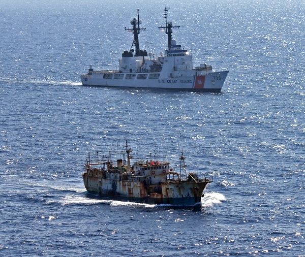
With sensible catch limits and sanctuaries where fishing is prohibited, we can turn the tide on ocean species decline — but only if we can enforce the laws. Unfortunately the ocean is a huge place with few “cops on the beat” and a lot of places for illegal, unreported, and unregulated fishermen to hide.
Until now.
Last week Oceana, SkyTruth, and Google launched the public Beta of Global Fishing Watch (GFW), a free online tool that allows anyone in the world to monitor and track the activities of the world’s largest commercial fishing vessels in near real-time.
Here’s how it works: Every ship over a certain tonnage is required to transmit Automatic Identification System (AIS) data containing its identity, location, course and speed. The data, received by satellites and accumulated since 2012, is used to plot each ship’s movements. To determine which boats are fishing vessels, Global Fishing Watch developed an algorithm that identifies fishing by the characteristic patterns it makes on the map.
The map shows no-fish zones and Economic Exclusion Zones where it’s easy to see if illegal fishing is going on. Vessels that turn off their AIS transmitters or purposely falsify their GPS data are automatically suspect.
Nations at the mercy of illegal fishing are happy to use GFW. In December 2014, when the tool was still in test mode, SkyTruth analyst Bjorn Bergman (from his desk in West Virginia!) saw a Taiwanese boat fishing illegally in Palau’s protected waters. And it turned off its AIS. The boat left Palau and headed for Indonesia. When it returned in January Bergman remotely helped Palau authorities chase it down. Read the whole story here at the GFW blog.
So if you’re wondering how the U.S. will stop illegal fishing in 582,578 square miles of the newly expanded Papahanaumokuakea Marine National Monument (surrounding the Northwestern Hawaiian Islands) the answer is:
We’ll catch them from the sky.
For more information, watch the video and visit the Global Fishing Watch website.
(video from Global Fishing Watch on YouTube)
I registered, thank you for the info!