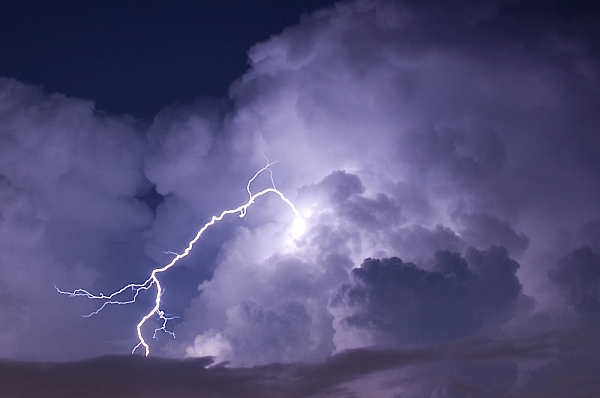
Occasionally during the May-to-August storm season, the National Weather Service warns of flash flooding because of potential “training thunderstorms.”
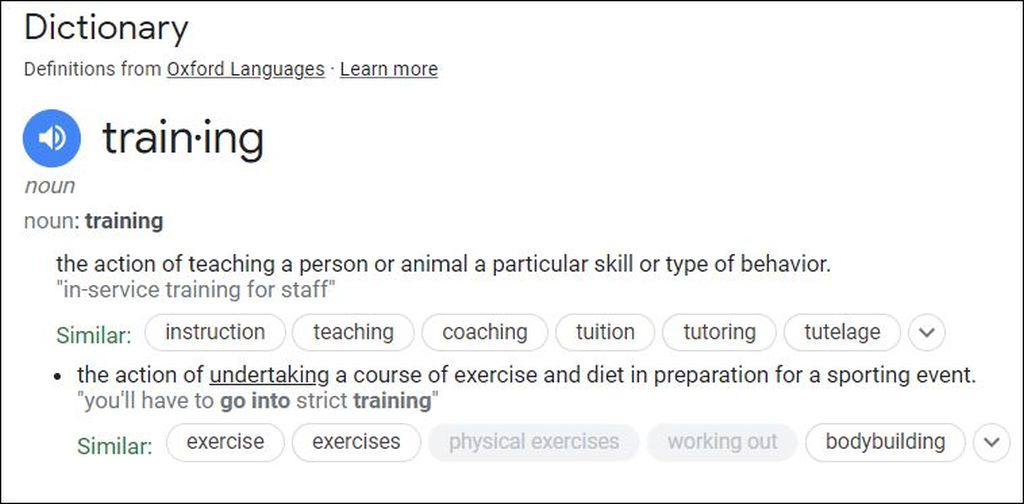
Training thunderstorms? Are they getting in shape for a big competition? Are they practicing to be better thunderstorms? Are they learning from older, wiser storms?
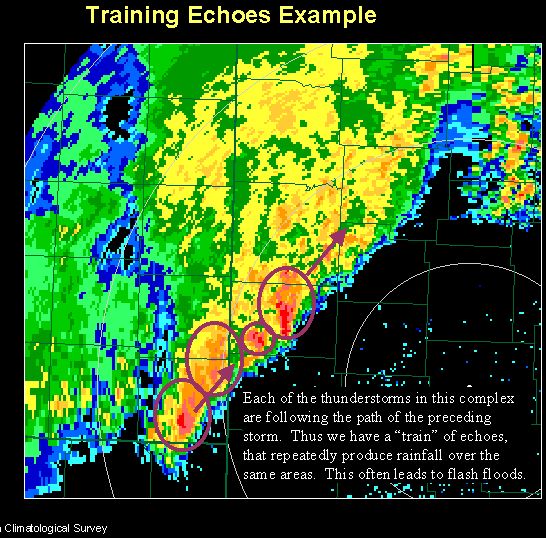
No. “Training” in this case means the storms are lined up in a row, moving one after the other like railcars in a train. The Philadelphia Area Weather Book describes it:
Most of the year, thunderstorms, steered by speedy winds a few miles above the ground, move along quickly enough so that flooding is not a problem. But those high-altitude winds are typically much weaker in summer and, at times, nearly calm. When this happens, thunderstorms can sit over the same spot for hours. Even if the steering winds are not that lazy, flooding can still occur if the winds blow parallel to a line of storms. When that happens, one thunderstorm after another passes over the same location like railroad cars in a train passing over a track. Appropriately meteorologists call this process training.
— The Philadelphia Area Weather Book, 2002
From the ground we experience them as storm after storm and downpour after downpour, but on radar they look like a moving train seen from above.

When radar-watching meteorologists saw this phenomenon they turned the concept of “moving like a train” into an adjective describing thunderstorm behavior. The new use of an old word did not catch on. Though it’s been around at least 30 years it’s not in the dictionary.

And so when “training thunderstorms” occur, which is thankfully rare, weather forecasters must explain the term.
Learn more about the complex cauldron of air that churns out training thunderstorms in Forbes Magazine: Thunderstorm Training Can Turn an Average Storm into a Flash Flood Emergency.
(photos by “jcpjr” from Shutterstock.com and from Wikimedia Commons, dictionary screenshot from Google)