6 April 2024
This week March went out like a lamb and April came in like a lion.
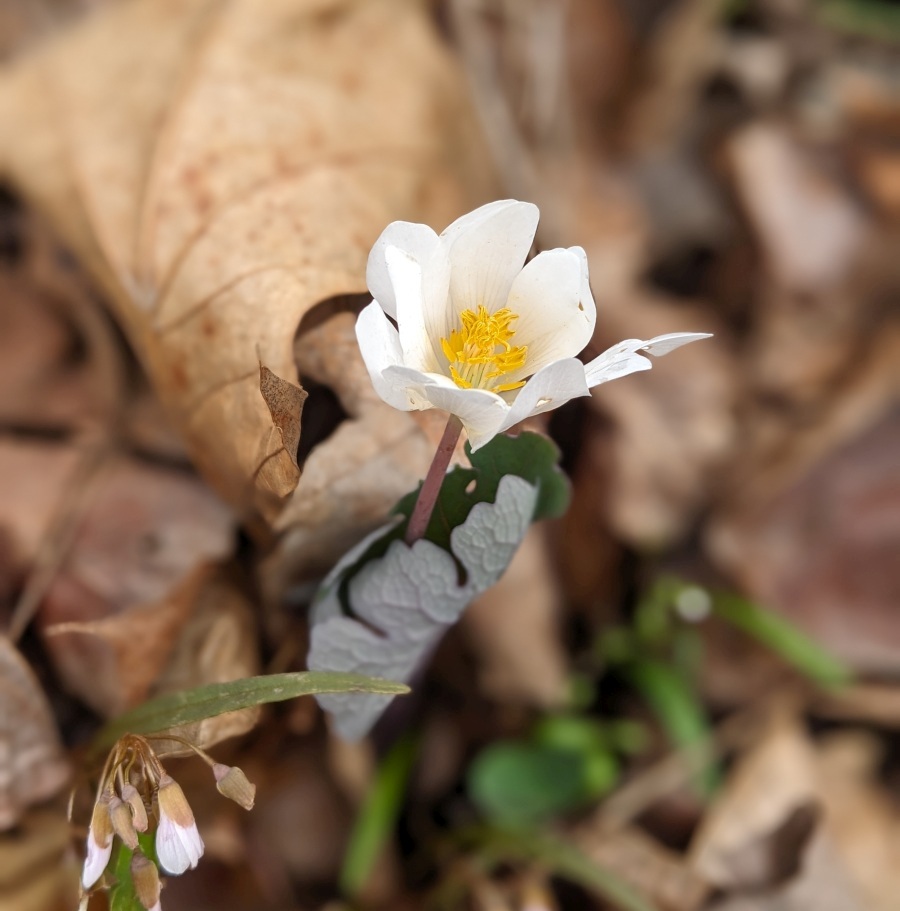
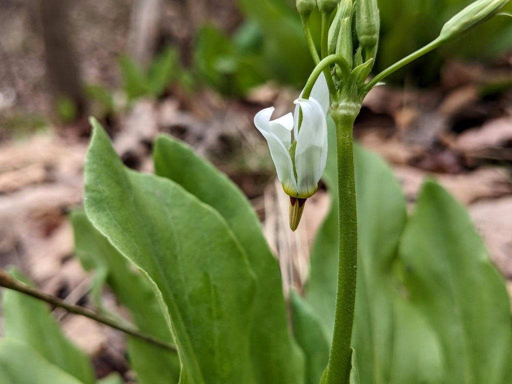
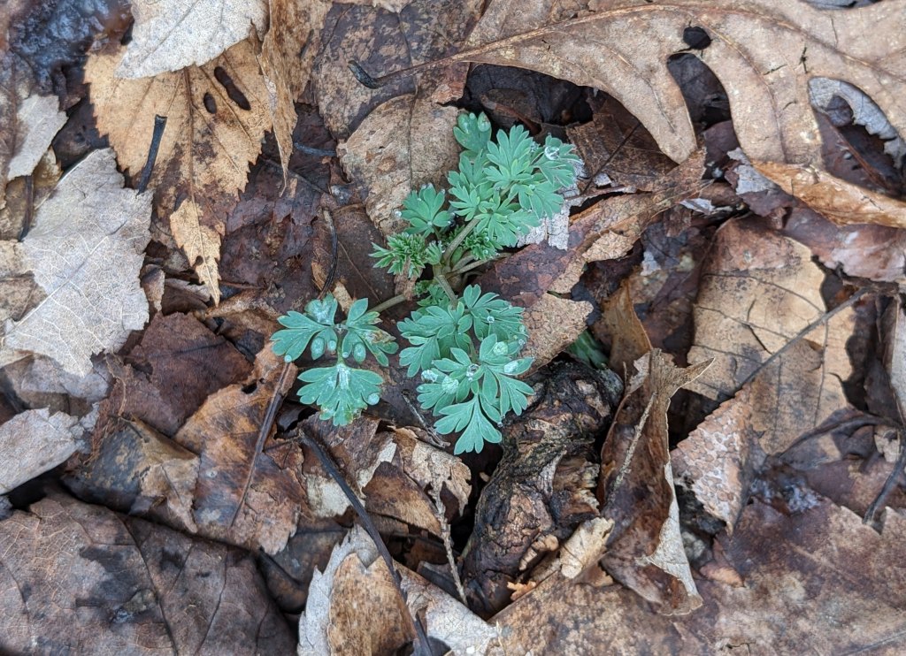
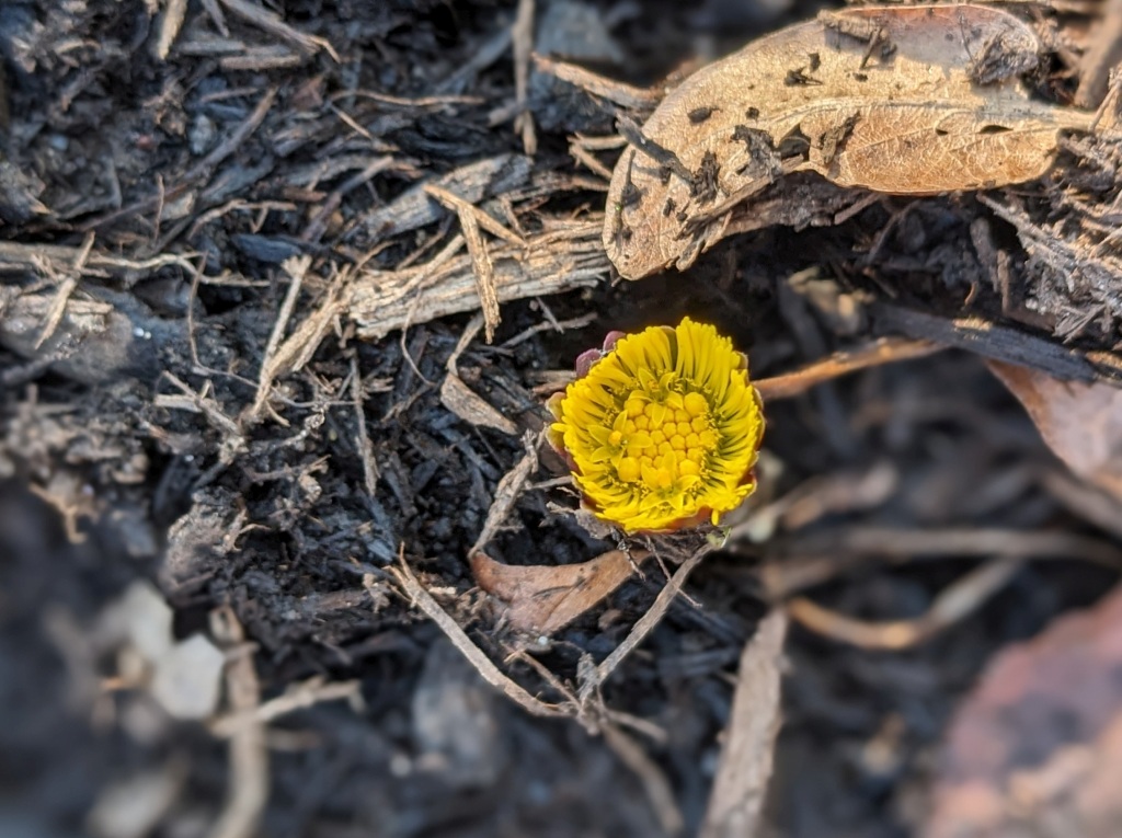
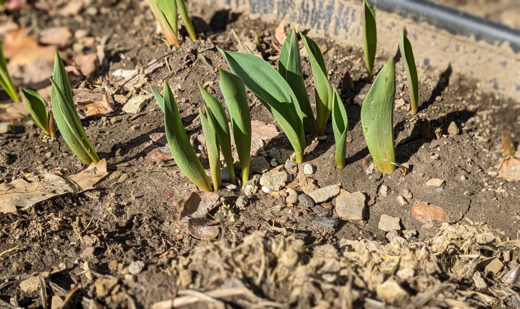
After photographing garden flowers on Easter morning I traveled out to Independence Marsh in Beaver County. I did not find my target bird, rusty blackbirds, but I did find spring flowers: Dutchmans breeches, cutleaf toothwort, bloodroot (above) and the first tiny bloom on shooting star (below).
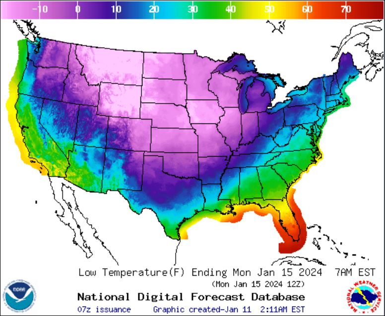
As soon as March was over, things went wrong. I should have known when I saw this troubled sky of mammatus clouds on Saturday, 30 March. Not a good sign.

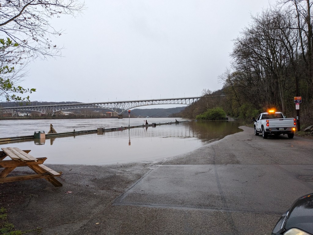
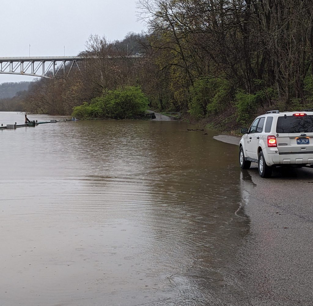
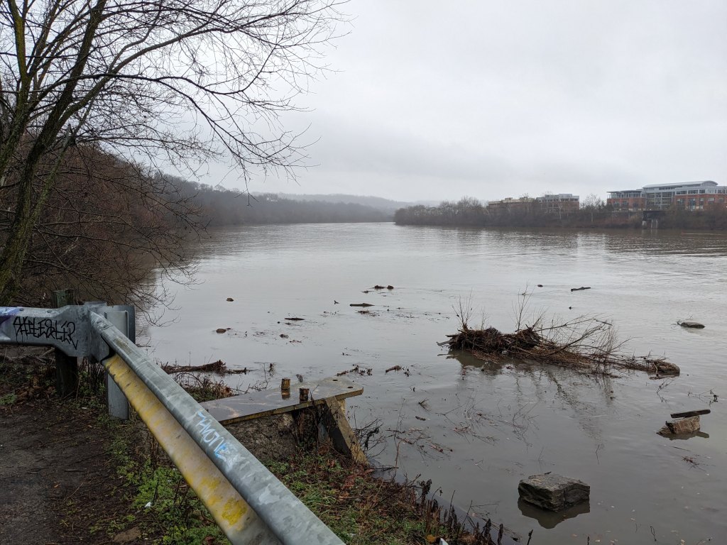
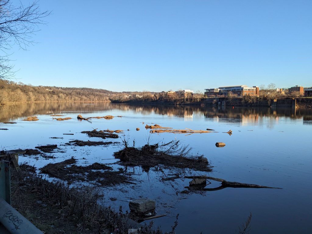
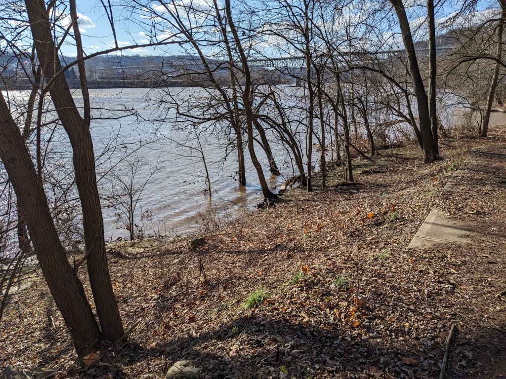
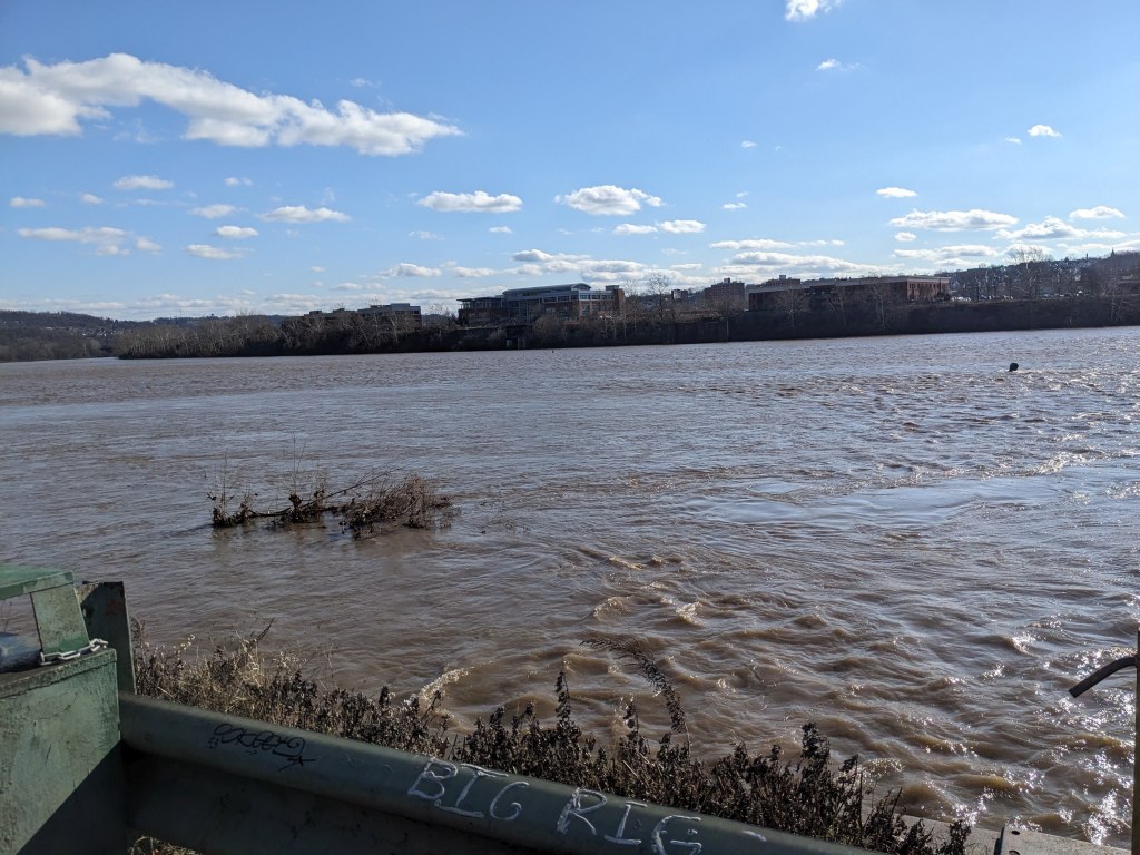
It rained and rained and rained on April 1-3, setting a record of 2.68 inches on April 2. Streams and basements were hit hard while the rain was falling. The rivers rose, as shown at at Duck Hollow on 4 April with the Monongahela River at parking lot level. (more flood photos and videos here)
Later that same day, Thursday 4 April, the temperature fell and so did graupel.
Today it’s cold but the precipitation has finally stopped.
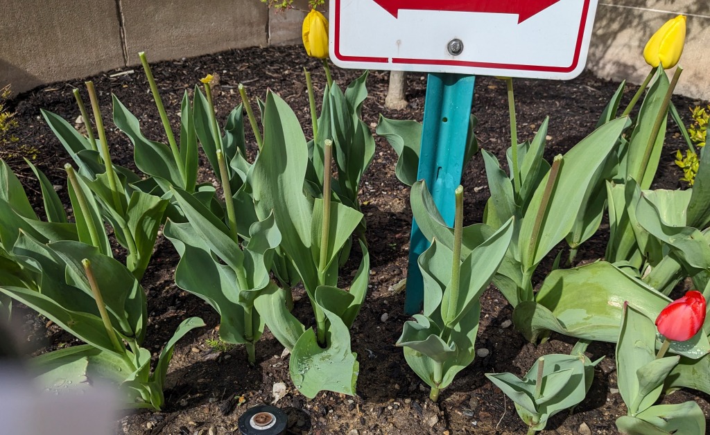
Meanwhile ….Remember those beautiful tulips I posted last Sunday, Easter morning?

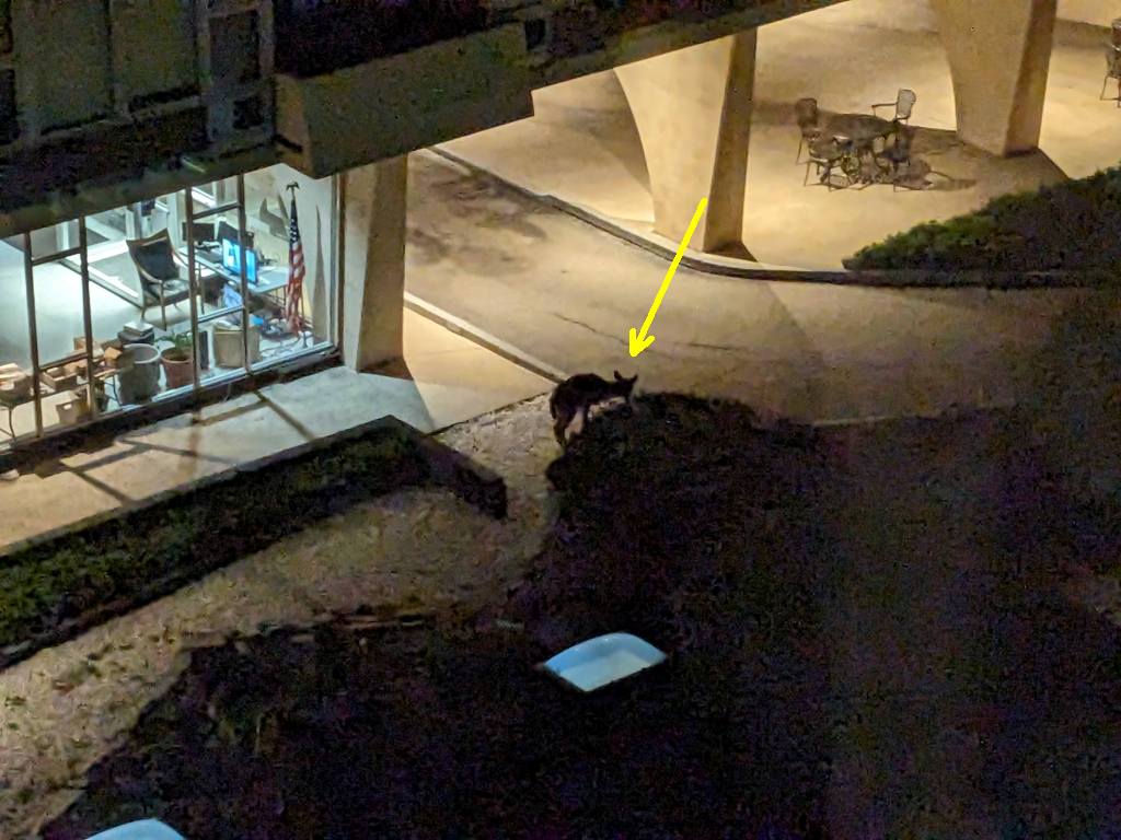
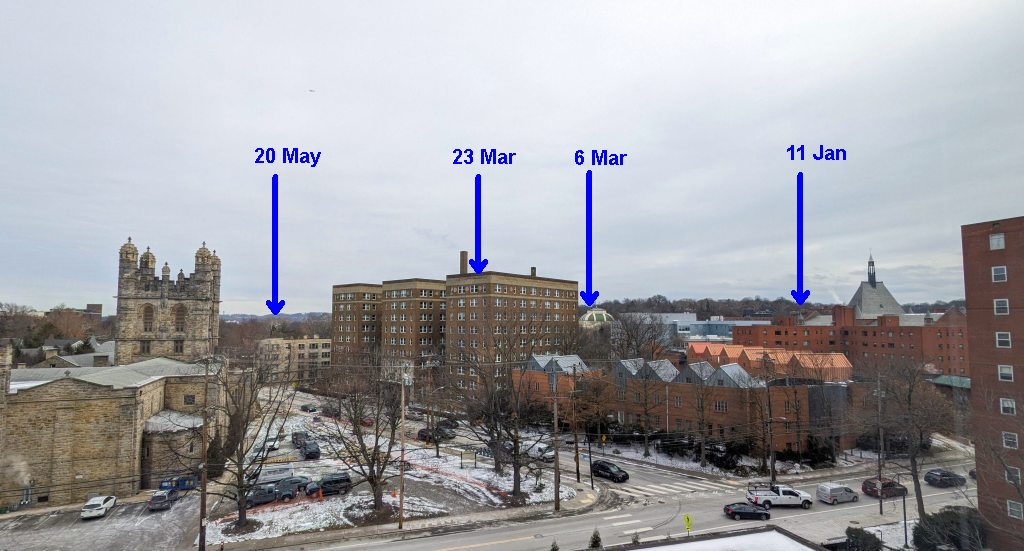
And remember the deer I saw between two highrises in Oakland on 24 March?
Well, the two met up and the tulips did not fare well.

That was on N Neville Street. Here’s N Craig Street.

Deer damage has come to the “asphalt jungle.”
(photos by Kate St. John)


